Your grid square, and the distance to any other
A Maidenhead locator, a grid square, names a cell on the map rather than a point. Amateur radio uses them constantly: a net asks for yours, a contest exchange is one, and a DX spot often gives you a locator and nothing else. The phone has known its own square all along. As of 1.8.0, APRS Connect says it.
The Grid square screen is in the drawer, which opens when you swipe up on the tab bar. It does two things, both free, and both entirely on the phone. No account, no lookup service, and nothing is sent anywhere. It works with the radio off and no signal.
Your own square
The top of the screen is your six-character locator, large enough to read out, with a COPY button beside it. Under it is the place the square covers, once the phone has reverse-geocoded it.
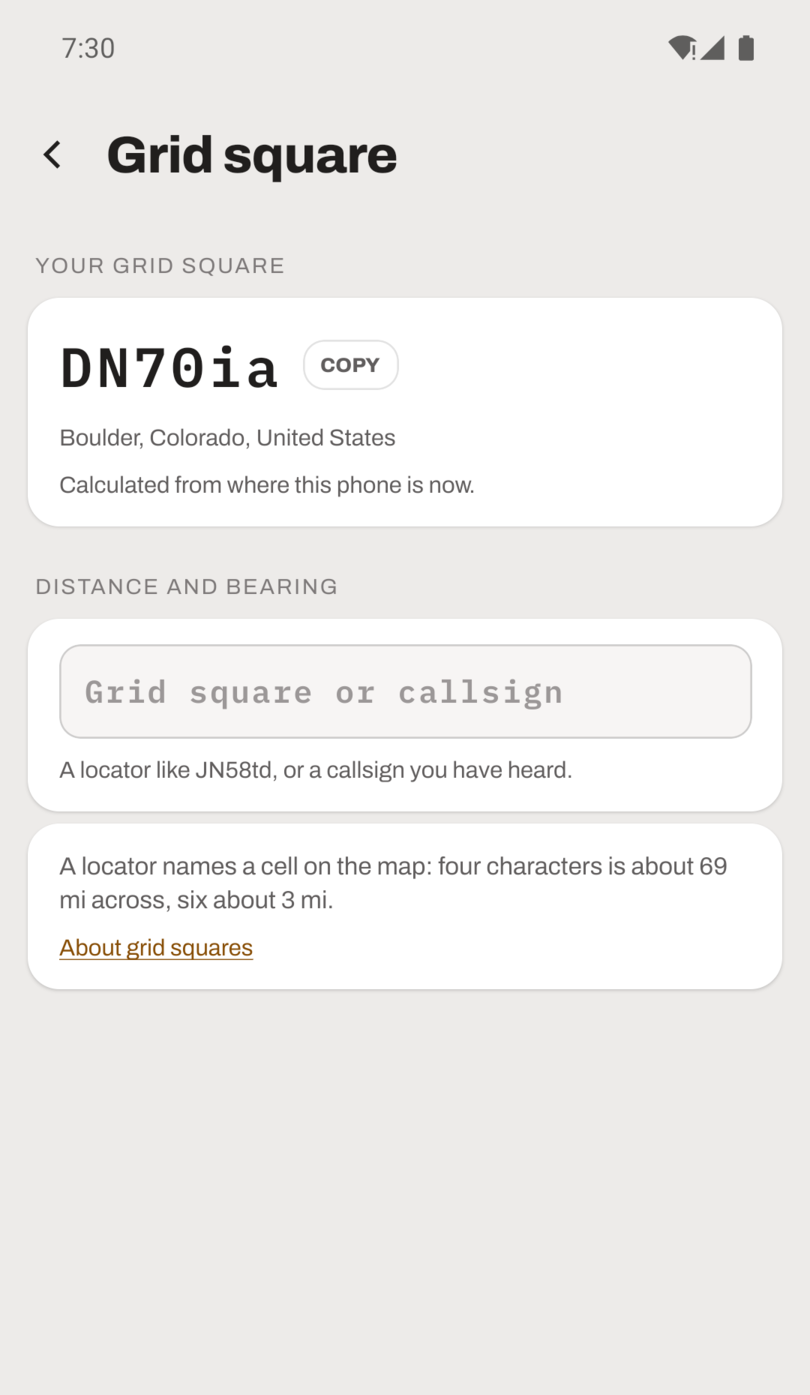
It is calculated from the best position the app has. Where the phone is now, if you have allowed the app to use your location, and the screen asks the first time you open it. Otherwise the last position you beaconed, so a station beaconing a fixed position knows its own square without any location permission at all. If neither is available the screen says so rather than showing a locator it has guessed.
Distance and bearing
Below that is one box. Type either a grid square, four, six or eight characters in any case, or a callsign this app has heard with a position. N0CALL answers with that exact station when it has been heard, and otherwise with whichever of its SSIDs beaconed most recently.
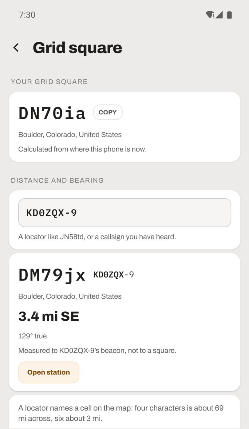
The answer is the distance, the compass point, and the bearing in degrees true, which is the number you need if you are turning a beam. Distances follow the units setting.
The screen also says which of two things it measured, because they are not equally good. To a station's own beacon means the position they actually transmitted. To the middle of a square means the distance is quoted with the slack a cell implies: four characters is a cell about 100 km across, six is about 5 km, eight is a few hundred meters, and the screen prints the give-or-take in your own units. Two characters is a field roughly 2,000 km across, and the screen refuses to measure to one.
From the map
Long-press anywhere on the map and the sheet gives you that point's locator alongside its coordinates, each with its own COPY button. That is the quickest way to get the square for somewhere you are not: a summit, a park, a field day site.
The same arithmetic already runs behind the APRS OTA screens, which use a host's announced locator to work out range and bearing to an operator whose beacon has never reached you.
The reference is the grid squares documentation.