Where your signal has actually reached a digipeater
Everyone who runs a mobile has a mental map of where their beacons get out and where they do not. APRS Connect 1.8.0 draws that map from evidence instead of memory. It is part of APRS Connect Pro.
What the layer shows
The coverage layer is a heat map of the places a transmitter provably reached a digipeater from. Every mark is a packet that carried a position and came back with a digipeater in its path. The position is where the transmitter was standing. The digipeat is the proof that something on the air heard it.
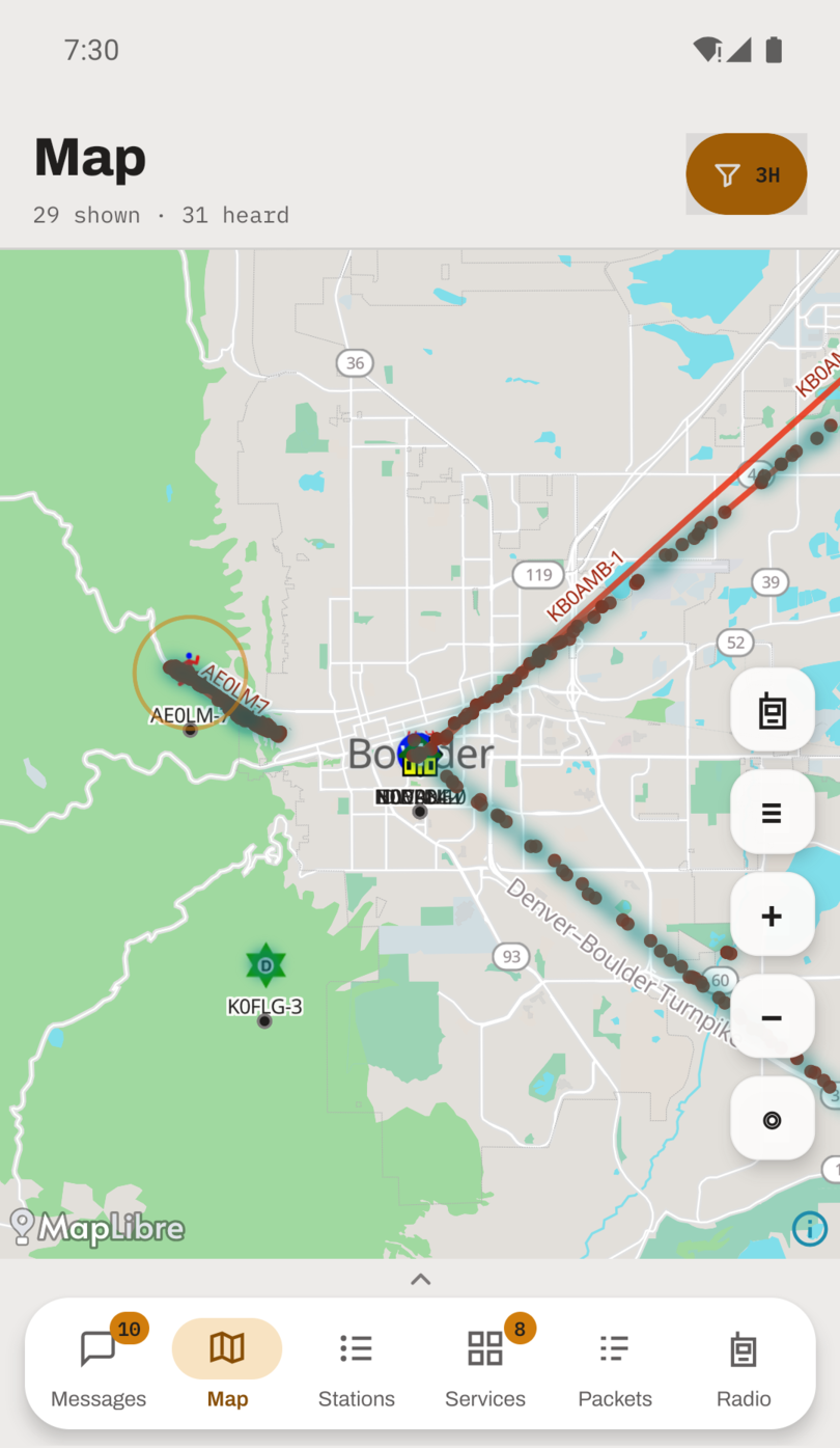
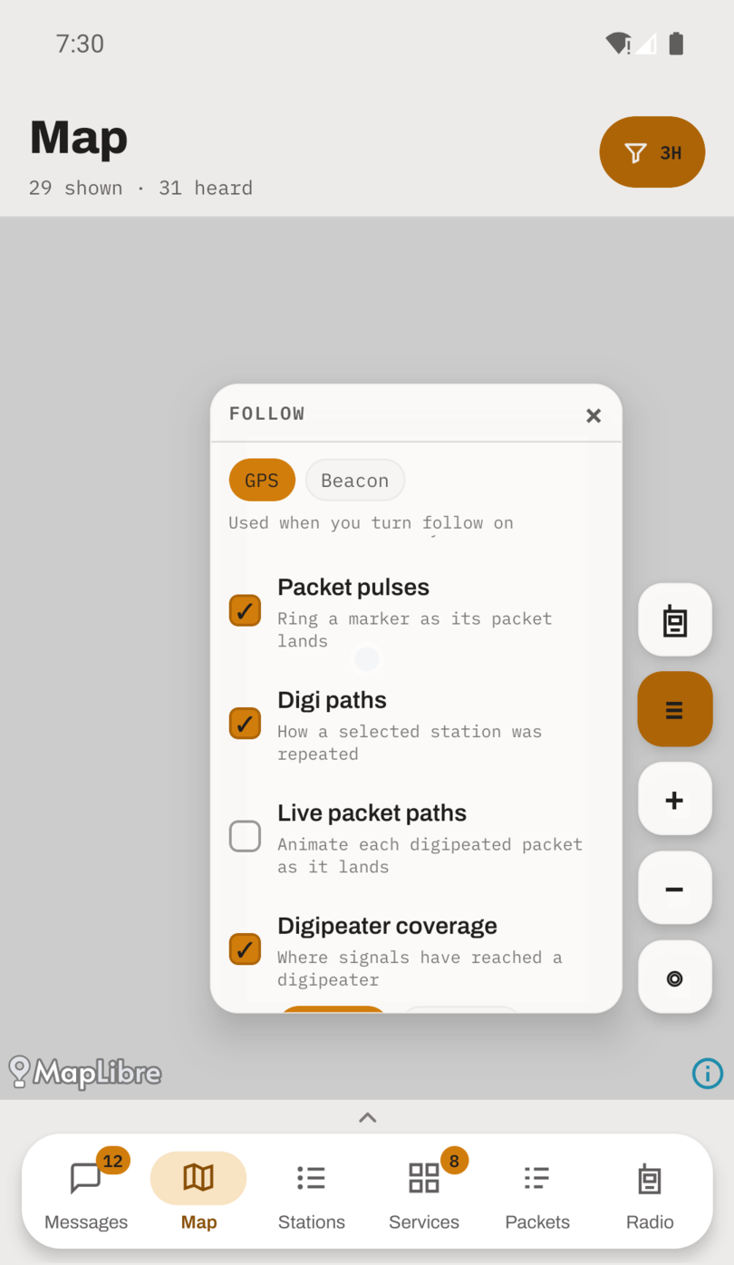
A COVERAGE panel under the map layers gives two answers to "whose":
- Only me is where you have been repeated, built from your own beacons coming back with a digipeater's mark on them. Nobody else can answer this one for you.
- Everyone is every station this app has heard, yours included.
There is a third view, reached from a marker. Every station's card offers Coverage of …, which draws that one station's footprint: the places it has actually repeated somebody from. Most stations have repeated nothing, and the button says so rather than hiding, because the app has no "is a digipeater" flag and would only be guessing from the callsign.
What a mark means
Marks are drawn as soft spots a little larger than the square they stand for, so several stations repeated from the same corner blend into one covered patch. A lone report stays a lone dot. Colour is how much evidence there is, on a scale that flattens off: one contact from a spot is already clearly visible, twenty is full strength, and a base station beaconing from the same driveway all year does not drown out a road driven once.
Coverage is collected on a grid of about 56 metres, and a mark sits at the average of the reports that made it, so a run of position reports along a road draws a line along that road, close enough to hunt a dead spot with.
A mark shows where the transmitting station was, never where the digipeater is. A digipeater's footprint is the ground it has heard stations from, spread around it, not the tower itself. And a blank map is not the same as no coverage. It means nothing was heard being repeated from there, usually because nobody transmitted from there while you were listening. Read the layer as a record of contacts that happened, never as a boundary around where a radio would work.
It has been recording all along
Coverage is recorded from ordinary listening on every install. Nothing is transmitted to build it, and nothing leaves the phone.
It is kept for two years by default, as an aggregate of roughly one small row per square kilometer, so a long window costs very little. It outlives the packet log. Your own coverage travels in the backup file; other stations' fills in again on its own from live traffic.
Coverage is one section of the map documentation.